Introduction
The tradition of Capability Brown and William Kent presented itself as an obvious precedent for the large-scale remaking of the landscape.
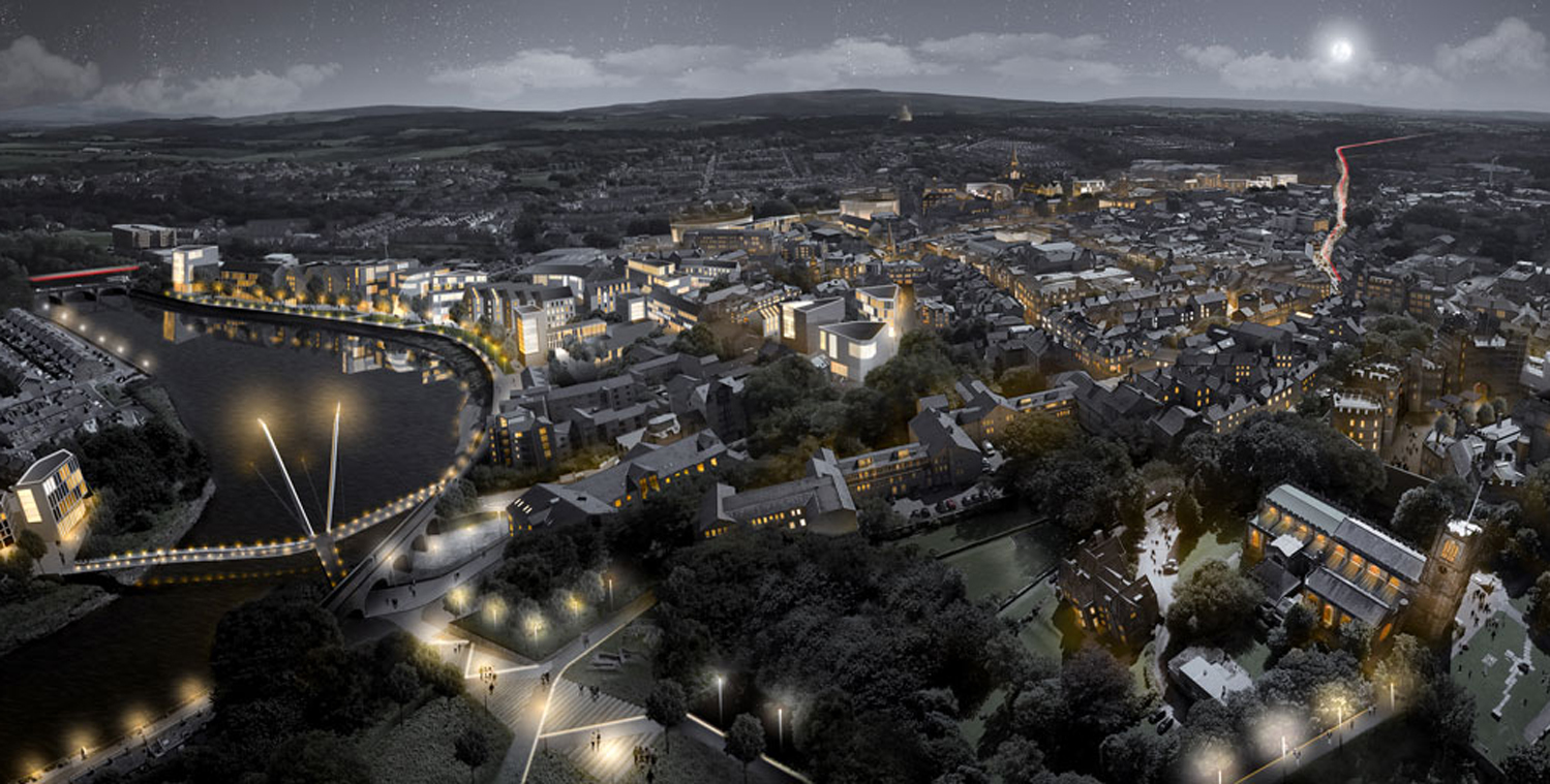
This 98 hectare (242 acre) site is amongst the most contaminated in western Europe, following decades of mining activity and lime, iron and coke production. It closed in 1992 with the loss of more than 500 jobs. The aim of the project to transform the site into an area for housing, employment, leisure and wildlife is being managed by site owners, East Midlands Development Agency, and funded through English Partnerships National Coalfield Programme.
This project is an example of planning from the ground up. The level of toxicity of the soil requires that the entire site be excavated to a depth of several metres and treated on site, sterilising it and doubling its volume. The opportunity thus presents itself to generate a new landscape. The fundamental design decision was that the new topography would be neither spuriously naturalistic, nor rigorously geometric.
The tradition of Capability Brown and William Kent presented itself as an obvious precedent for the large-scale remaking of the landscape, with the fundamental difference that it would no longer be carried out by manual labour in the service of privileged whimsy. The form was generated using fairly complex computer modelling in response to the surrounding landscape, the historical manipulation of the site, sustainable drainage strategies and the potential future urbanisation of the site. The idea was that the landscape should appear as if it had once been a settlement but had returned to a state of nature, the aim being to ensure that the place should appear complete whether or not the potential residential and commercial development of the site were to materialise.
Client
English Partnerships
East Midlands Development Agency
Location
Chesterfield, UK
Size
98 hectares
(242 acres)
Masterplan Completed
2006